Ken Larsen's web site - Aerial photos of Briarcliff during 1950-1970
Here are some aerial photos of the Briracliff neighborhood in Chapel Hill, NC. Briarcliff resident Dan Cefalo emailed them to me along with his comments.
These photos show the evolution of Booker Creek, from a small stream, to a man made creek or canal to route water away from the newly formed Briarcliff community. Bottom line is that it needs to be treated as such and not as some natural creek that should be left as such.
 |
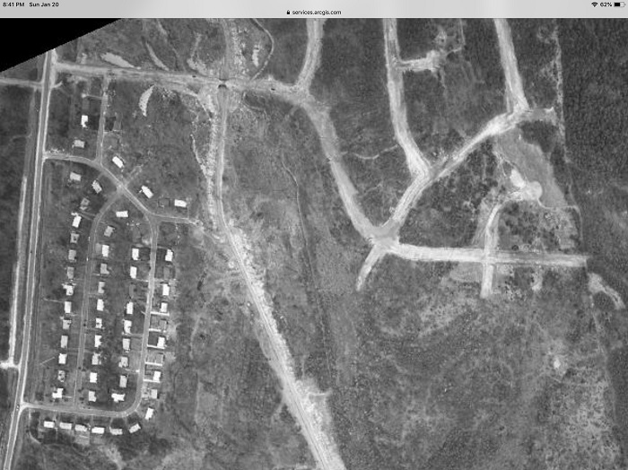
Aerial photo of Briarcliff in 1950 This shows early Willow Drive ... University Mall. There was NO creek back then. There are pieces of creeks, all combined into one larger flow. |
 |
Aerial photo of Briarcliff in 1960 This shows Willow
Drive being installed with a newly formed creek cutting under the
bridge. You can see our first roads being built in the
neighborhood. |
 |
in 1970 This one is the clearest I could find. Compliments of NCDOT historical aerial photos 1970. Once again highlighting the creek in its newly built state, clear and freshly dredged. |
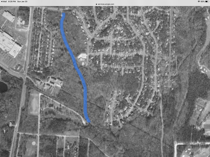 |
in 1970 with creek highlighted in blue |
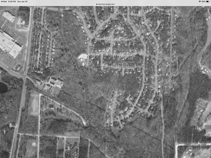 |
in 1970 Center left is ridgewood pool. You can see the faint grey line that is the creek, unnaturally straightened and dug to the size of a single lane road. |